What Is a Snow Day Predictor?
A snow day predictor is a specialized forecasting tool designed to answer one very specific question: will my school close tomorrow because of winter weather? It's not a general weather app. It doesn't just tell you how many inches of snow are coming. Instead, it combines meteorological data with school district behavior to calculate a single, actionable probability — typically expressed as a percentage from 0 to 100%.
The need for this kind of tool is real. Standard weather apps tell you a storm is coming but give no insight into how your local district will respond. A forecast of "4–6 inches of snow" means school-closed certainty in Charlotte, North Carolina, and barely registers as noteworthy in Green Bay, Wisconsin. A snow day predictor bridges that gap by building local context directly into the forecast.
Modern snow day predictors — including the free Snow Day Calculator from SnowDay Calculation — go a step further by using machine learning trained on years of real district closure decisions. That means the tool isn't just applying a generic rule ("more than 6 inches = closed") — it's learned the specific tendencies of schools in your area.
Snow Day Predictor vs. Snow Day Calculator: What's the Difference?
You'll see both terms used online and they largely refer to the same thing. However, there is a subtle distinction worth understanding:
- Snow day calculator tends to emphasize the computational, input-output nature of the tool — you plug in a ZIP code and get a calculated result based on defined variables.
- Snow day predictor implies a more forward-looking, model-driven approach — the system is actively forecasting based on patterns and live data, not just calculating from a fixed formula.
In practice, the best tools do both: they calculate based on real-time inputs and predict using historical district behavior patterns. The SnowDay Calculation engine, for example, updates its predictions every few hours as National Weather Service model runs refresh — meaning it's not a static calculation but a continuously evolving forecast.
For the purposes of this guide, we use both terms interchangeably. What matters is whether the tool uses local historical data, not just generic weather thresholds.
How Snow Day Predictions Are Actually Made
Understanding what goes into a snow day prediction helps you interpret the probability more intelligently — and know when to trust it and when to hedge.
The Weather Data Layer
The foundation of any snow day predictor is a live weather forecast pulled for your exact location. This typically includes:
- Total snowfall accumulation (inches) — the headline number most people focus on
- Hourly precipitation timing — snow falling at 2 AM has very different impact than snow at 7 AM
- Overnight low temperature — determines whether pre-treated roads refreeze
- Wind speed and wind chill — extreme wind chill (below −20°F in many northern districts) can trigger closures with little to no snowfall
- Road surface temperature — affects how effective salting and sanding operations will be
- Forecast confidence / ensemble spread — how much do the various weather models agree? High disagreement = higher uncertainty in the prediction
The District History Layer
Raw weather data alone is not enough. Two districts in the same county can have meaningfully different closure thresholds based on their school bus routes, the age of their vehicle fleets, community risk tolerance, and the superintendent's track record. A good snow day predictor maps your ZIP code to its school district and applies weights based on how that district has historically responded to comparable storm conditions.
This is why the same forecasted storm can produce a 75% closure probability for one district and a 40% probability for a neighboring district 15 miles away. The weather is nearly identical — the district behavior is not.
Prediction Accuracy: What the Data Shows
No prediction tool is perfect — but data shows that AI-powered snow day predictors with district-level training dramatically outperform both general weather apps and gut-feeling estimates from parents. Here's how accuracy breaks down by time horizon:
| Prediction Timing | Typical Accuracy | Confidence Level | Best Use |
|---|---|---|---|
| Within 6 hours of closure decision | 90–95% | Very High | Final confirmation before morning |
| 6–12 hours out (late evening) | 85–92% | High | Setting alarms, planning morning logistics |
| 12–24 hours out (day before) | 75–85% | Moderate-High | Childcare planning, work schedule adjustments |
| 24–36 hours out | 62–75% | Moderate | Awareness; monitor for updates |
| 36–48 hours out | 50–65% | Low-Moderate | Early-warning planning only |
| 48+ hours out | Below 55% | Low | Not reliable for decision-making |
"The accuracy gap between a generic weather forecast and a district-trained snow day prediction model is largest in the 12–24 hour window — precisely the window when most families are making decisions about childcare, work schedules, and school preparations. That's where local historical context pays off most." — Winter School Operations Analysis, Education Research Institute (2024)
One important nuance: accuracy percentages represent how often the tool's prediction (above or below 50%) matches the actual outcome. A prediction of 82% that results in school staying open is not necessarily wrong — it means conditions were borderline, and the district made a judgment call that went the other way. High probability predictions that don't result in closures are usually explained by a last-minute change in storm track or a district that errs toward keeping schools open.
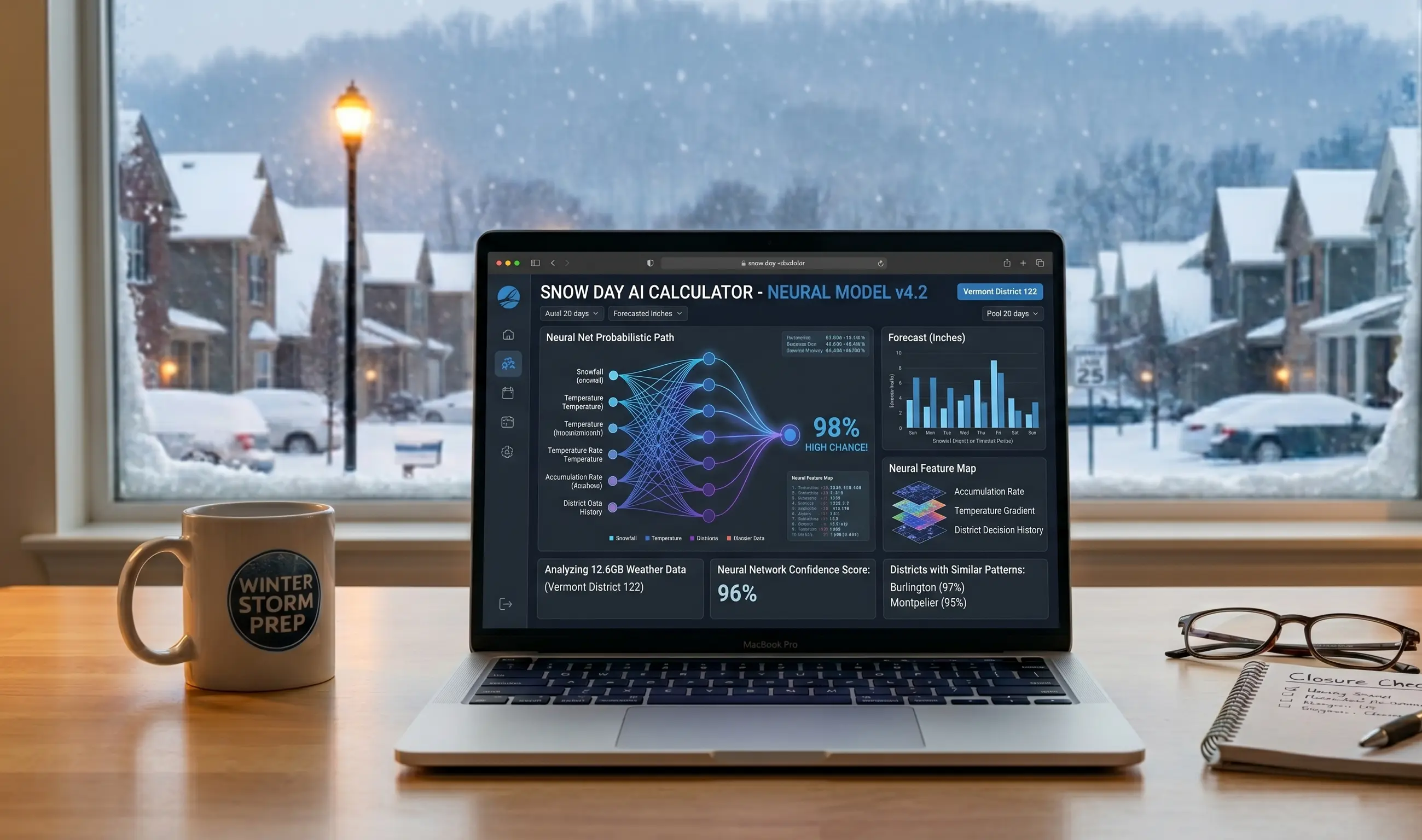
Prediction for SnowDay using Neural Network.
What Makes the Best Snow Day Predictor?
Not all snow day predictors are built equally. Here's what separates a genuinely useful tool from a glorified weather widget:
- District-level historical data — the single biggest differentiator. A tool that knows your district's actual closure history will always outperform one that applies a regional average.
- Live NWS model integration — predictions should update every 6 hours or more frequently as new model runs are ingested. A static prediction made at noon is stale by 9 PM when the storm is approaching.
- Wind chill awareness — especially important in the Midwest and Upper Midwest, where wind chill closures are as common as snow-total closures. A predictor that ignores wind chill will miss a significant subset of actual closure events.
- Precipitation timing modeling — when the snow falls matters as much as how much falls. A predictor that only looks at 24-hour totals without considering the timing relative to school start will be systematically less accurate.
- Transparent probability output — a good tool gives you a number with context, not just a binary yes/no. Knowing that your school has a 67% vs. an 89% chance of closing tomorrow changes how you plan.
- Free and no-signup access — the best tools don't gate this basic information behind a paywall or account creation.
The Snow Day Calculator from SnowDay Calculation meets all of these criteria. It's free, updates continuously, covers all 50 states, incorporates wind chill and precipitation timing, and outputs a clear probability percentage with a plain-English interpretation.
How to Use a Snow Day Predictor Effectively
Getting the most out of a snow day predictor is about knowing when to check, how to read the probability, and what to do with different outcomes. Here's a practical playbook:
The 3-Check Strategy
Instead of obsessively refreshing the predictor every hour, use a disciplined 3-check approach that matches how the underlying forecast data actually evolves:
- Check 1 — 24 hours before (afternoon): Get a baseline. Is there any meaningful probability? If the predictor shows under 20%, you can likely relax. If it's above 50%, start making contingency plans for childcare, work, and logistics.
- Check 2 — 9–11 PM the night before: This is the most important check. The latest NWS model run is in, the overnight accumulation window is defined, and the result at this point is the most predictive single reading you'll get. If probability is above 70%, treat tomorrow as a likely snow day.
- Check 3 — 5 AM the morning of: Final confirmation. At this point, many districts have already posted their decision, so also check your school's official app or website. A predictor showing 85%+ at 5 AM almost always means closure is either already announced or imminent.
How to Interpret the Probability Number
Resist the urge to treat the probability as a simple above/below 50% binary. Here's a more useful mental framework:
- 0–25%: Unlikely. Plan for a normal school day. Monitor only if the storm is tracking unusually.
- 26–49%: Possible but not probable. Have a loose backup plan. Check again at 9 PM.
- 50–69%: Genuinely uncertain. Conditions are right at your district's historical borderline. Arrange flexible childcare if possible.
- 70–84%: Probable. Reasonable to plan for a snow day while keeping a small contingency for school being open.
- 85–100%: Very likely. Plan accordingly. Check for official announcements starting at 5 AM.
Also pay attention to which direction the probability is moving. A prediction that was 55% at 3 PM and is now 72% at 9 PM is more reliable than a static 72% — it means the forecast is consolidating in the direction of closure, not drifting away from it.
Frequently Asked Questions
Does the snow day predictor work differently for elementary vs. high school?
Yes, and meaningfully so. Many districts apply different standards to different school levels — elementary schools often close sooner because younger children are harder to dress appropriately, have longer bus rides, and are more vulnerable to extreme cold. The best predictors let you select your school level and apply an age-appropriate model. In districts that routinely close elementary schools one to two thresholds earlier than high schools, this distinction can shift your probability by 10–20 percentage points.
Can the snow day predictor tell me about early dismissals or delays?
Some tools model a three-outcome scenario: full closure, 2-hour delay, or normal start. This is more complex than a binary prediction because delay decisions depend heavily on whether road crews can clear routes between 4 AM and 9 AM — which depends on precipitation rate, not just total accumulation. The SnowDay Calculation tool currently focuses on full-closure probability, which is the most actionable output for most families.
Why does the predictor sometimes change dramatically overnight?
Storm systems are inherently uncertain up until they arrive. A shift of 20–50 miles in the storm track can mean the difference between 2 inches and 8 inches for a specific district. When the 00Z or 06Z NWS model run (the overnight and early-morning runs) shows a significantly different storm track or intensity, the predictor will update its probability to match the new best estimate. This isn't a flaw — it's the tool working correctly. The most dramatic overnight changes are usually associated with borderline storms that were always uncertain.
Should I trust the snow day predictor or the district's official communication?
Both. The predictor gives you probability before the official decision is made — which is the window where it has unique value. Once the district posts an official closure, delay, or normal-start announcement, that information is definitive and overrides any probability estimate. Use the predictor for planning in the hours and days before the decision; use the official district channels for the final word.
Try the Free Snow Day Predictor Now
Enter your ZIP code and get an AI-powered school closure probability in seconds — no account, no signup, no ads. Updated continuously as the forecast evolves so you always have the most current prediction before you go to bed or set your alarm.
Get My Snow Day Prediction ❄️